Upcoming webinar: “Satellite Imagery for Early Warning of Productivity Constraints”
Webinar hosted by the Food Security Portal with support by the Harvest Consortium
Date: October 31, 2019 at 11:00AM EST
Background
The 2019 Global Report on Food Crises (GRFC) found that more than 113 million people across 53 countries experienced acute hunger in 2018. The main drivers of this food crisis include conflict and insecurity, climate shocks, and economic shocks. To navigate these increasingly complex, interlinked causes of food crises, it is important that governments and other stakeholders have timely, high-quality information in order to increase the resilience of food systems and the ability to cope with future crises. The EC-funded Food Security Portal (FSP) and the Africa South of the Sahara Food Security Portal (FSP-SSA) seek to improve the ability of governments to respond to and prevent food crises by bringing together policy-relevant tools and information in one place.
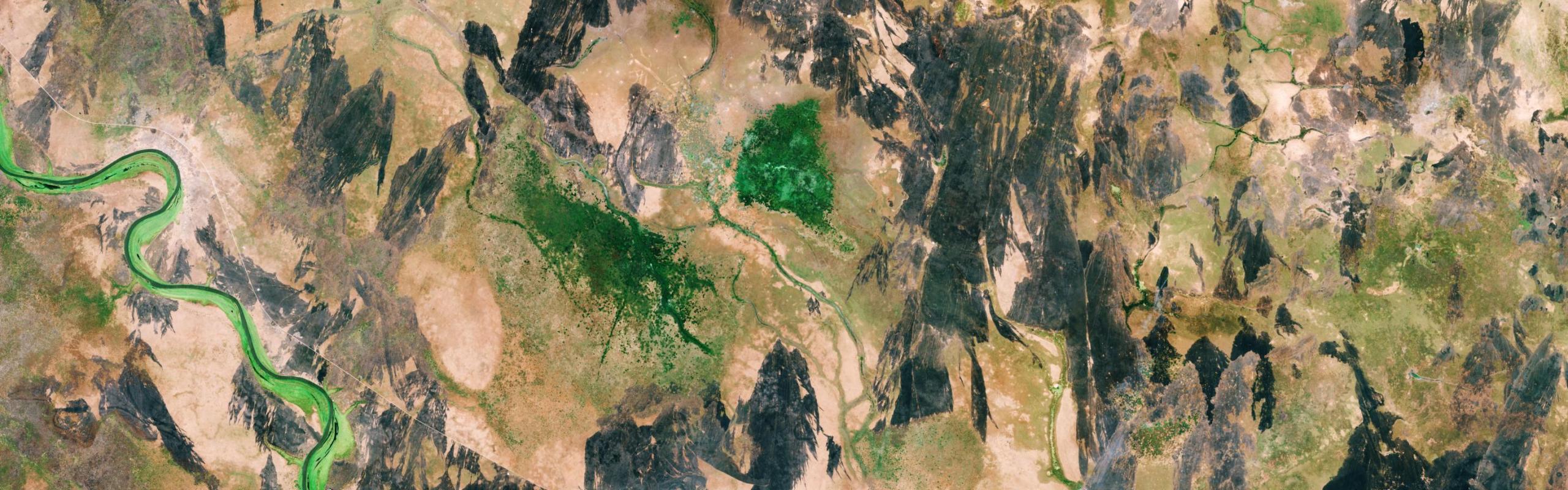
Early warning tools would provide one mechanism with which to build informed policy responses to food crises. Recent advances in satellite imagery have raised expectations for these tools’ use in such early warning systems, but such use will depend upon the imagery’s ability to create accurate predictions of crop failure and loss and by extension accurate estimated threats to food security. Despite the value that these types of predictions could have, the development of accurate models based on satellite imagery faces a number of obstacles, such as the heterogeneity of crops on small-scale farms in developing countries and cloud cover that can obfuscate the satellite imagery.
To move the accuracy of food crisis predictions forward, the NASA Harvest Consortium - a multidisciplinary group of applied researchers and operations users led by the University of Maryland - is working to enhance the use of satellite data in decision-making related to food security and agriculture worldwide. Researchers from the Food Security Portal make up a part of the Consortium and conduct research on the use of satellite data to predict crop loss, while other Harvest members and researchers work on parallel research questions in the food security and early warning space. On October 31, the Consortium in collaboration with the Food Security Portal will hold a webinar to discuss the potential of satellite imagery for food crisis early warning systems. This webinar will provide an opportunity to share the current state of knowledge and to identify areas new or further collaboration. We invite attendance from all interested in this topic.
Objectives
• Assess the state of the research on predictions of productivity
• Discuss plans for future research
• Host a moderated discussion on the challenges and opportunities that exist
Target Audience
The audience for the webinar will be researchers interested in the topic of satellite imagery as it relates to food crisis early warning systems, with the aim to increase collaboration among research teams and expand the scope and reach of these efforts. The presentations will be followed by a round of questions and discussions on future work.
Register today!
Webinar set-up
Presenters (5 to 10 minutes each)
- Summer Allen , Senior Research Coordinator, IFPRI
- Soonho Kim , Senior Data Manager, IFPRI
- Molly Brown , Research Professor, University of Maryland; Science Officer, 6th Grain
- Jake Campolo , Ph.D Student in Earth System Science, Stanford University
- Belen Franch , Distinguished Researcher, University of Valencia
- Gary Eilerts , Independent Consultant for NASA
- James Warner , Research Coordinator, IFPRI
Moderator
- Greg Husak , Assistant Researcher, University of California, Santa Barbara (UCSB) ake Campolo (Stanford University): Satellite mapping in Kenya and Nepal for understanding yield variability and informing crop management
Duration : 1.5 hours
Technology : GoToWebinar Registration information:
Please register for Using Satellite Imagery for Early Warning of Productivity Constraints on Oct 31, 2019 11:00 AM EDT at: https://attendee.gotowebinar.com/register/4312845756801722891 After registering, you will receive a confirmation email containing information about joining the webinar.